Where to find MassWildlife fishing access maps
It's incredibly frustrating when you're itching to get out on the water, but you spend more time trying to figure out where you can actually fish legally and conveniently than you do actually fishing. Whether you're a seasoned angler or just starting out, knowing where to find reliable, up-to-date information on public access points is crucial for a successful and stress-free fishing trip in Massachusetts. This comprehensive guide will walk you through exactly where and how to find MassWildlife's official fishing access maps, so you can spend less time guessing and more time casting.
Why MassWildlife Fishing Access Maps Are Your Go-To Resource
Let's be honest, finding a great fishing spot can feel like a secret society, with local knowledge often trumping general searches. You might drive past a promising-looking pond, only to find "No Trespassing" signs or discover that the only access is through private property. This is where the Massachusetts Division of Fisheries and Wildlife (MassWildlife) steps in as an absolute lifesaver. Their fishing access maps aren't just pretty pictures; they are meticulously curated resources designed to show you exactly where the public can legally access both freshwater and saltwater fishing locations across the Commonwealth.
Think about the time you've wasted scouring satellite images, hoping to spot a subtle path or a tiny parking lot that leads to a hidden gem. MassWildlife's maps cut through all that guesswork. They're built by the very folks responsible for managing our state's fisheries and wildlife, meaning the information is as accurate and reliable as it gets. These maps often highlight not just the obvious boat ramps, but also those lesser-known shore fishing access points that can be goldmines. They save you the headache of unexpected private property lines or blocked paths, making your fishing adventures much smoother and more enjoyable. They’re a foundational tool for anyone planning a fishing trip, whether it's for a quick evening session or an all-day excursion.
Step-by-Step: How to Find and Use the MassWildlife Angler Access Map Online
Navigating government websites can sometimes feel like a treasure hunt itself, but finding MassWildlife's angler access maps is actually quite straightforward once you know where to look. The primary tool you'll want to bookmark is their interactive Angler Access Map, which is a fantastic resource for discovering new spots and planning your trips.
Accessing the Interactive Angler Access Map
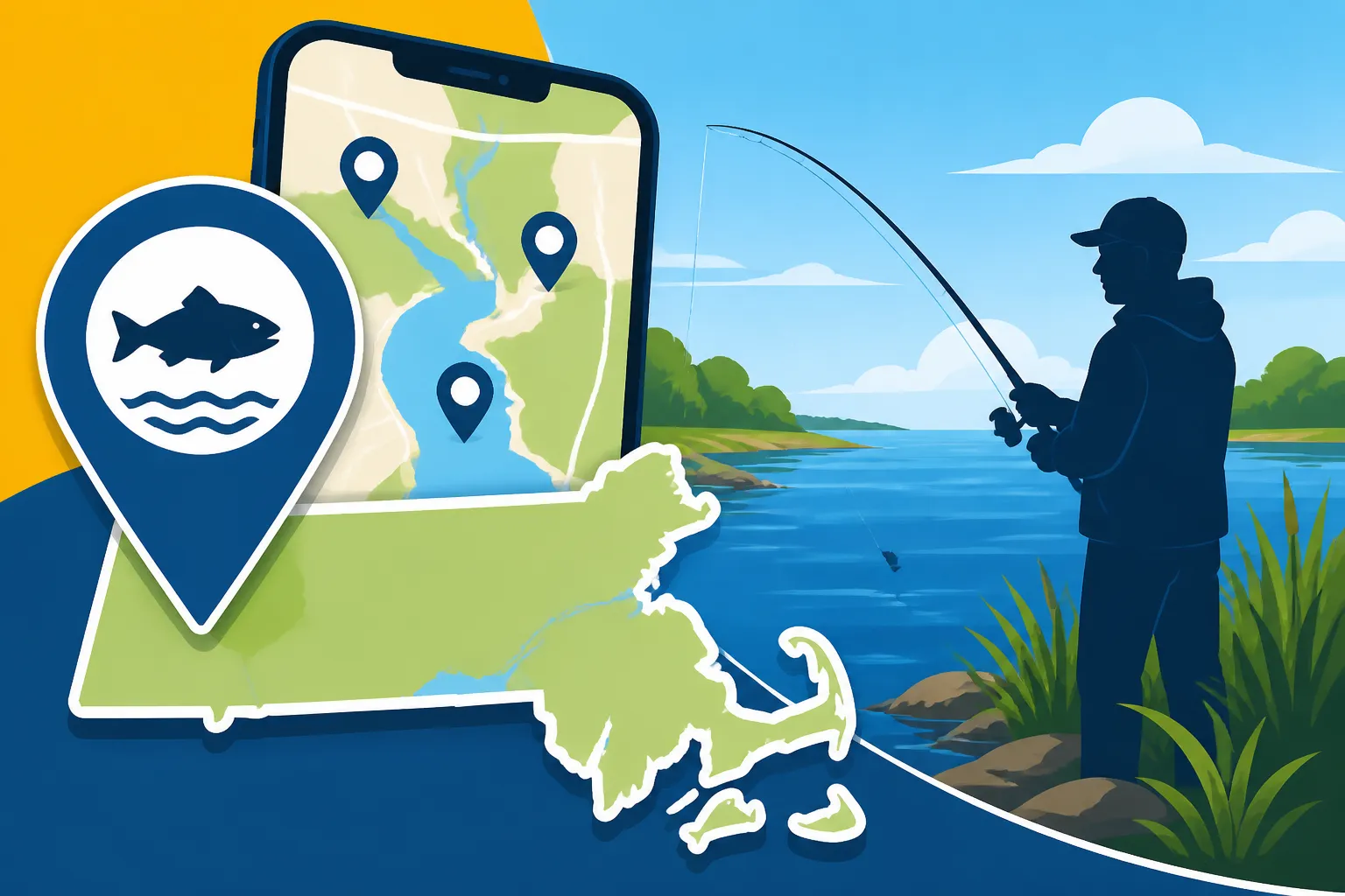
Your first stop should always be the official MassWildlife website. Once there, you'll typically look for sections related to "Fishing," "Recreation," or "Maps and Data." The most direct route is to search specifically for "Angler Access Map" within their site, or navigate to their "MassWildlife Lands and Waters" page. What you'll find is an interactive online map that operates much like Google Maps, but with specialized layers of information crucial for anglers.
When you open the map, you'll see a broad overview of Massachusetts. You can zoom in on any area, from the Berkshires to Cape Cod, and pan around to explore different regions. On the left-hand side or in a corner, you'll usually find a legend and a list of layers you can turn on or off. Make sure the "Public Fishing Access" layer is activated. This will populate the map with various icons representing different types of access points. The beauty of this interactive tool is its dynamic nature; as MassWildlife acquires new lands or improves existing access points, the map is updated, so you're always getting the most current data available. It truly beats trying to parse old, static PDF maps.
Deciphering Map Features and Symbols
Once you're zoomed in on a specific area, you'll notice various symbols appearing on the map. These symbols are key to understanding what kind of access is available. For instance, you might see small boat icons indicating public boat launches, or perhaps specific symbols for canoe and kayak access. Shoreline access points are often marked with different icons, sometimes denoting specific trails or designated fishing areas.
Clicking on any of these symbols on the interactive map will bring up a pop-up window with more detailed information. This is where the real value lies! You'll often find the name of the water body, specific directions to the access point, information about parking availability (which is often a major pain point for anglers!), and sometimes even details about what fish species are commonly found there. In some cases, it will provide links to specific regulations for that particular body of water. For example, some reservoirs like the Wachusett Reservoir Fishing Access Rules in Massachusetts have very specific rules that differ from general state regulations, and the map can point you to these details. Learning to interpret these symbols and the information they unlock is like having a local guide right on your screen.
What Information You'll Uncover on These Essential Maps
The MassWildlife maps go far beyond just showing you where to park and drop a line. They provide a wealth of information that can significantly enhance your planning and on-the-water experience. They aim to be a comprehensive resource, understanding that anglers need more than just a general location.
Pinpointing Public Shore Access and Boat Launches
One of the most valuable features of these maps is their ability to clearly distinguish between various types of access. If you're a kayak angler, you'll appreciate seeing designated canoe/kayak launches that might not accommodate larger boats, saving you the trouble of lugging your gear to an unsuitable ramp. Similarly, if you prefer to fish from shore, the maps highlight areas where public access to the shoreline is permitted. This is especially useful in densely populated areas or along large rivers like the Connecticut River, where much of the land might be private.
These access points are critical, whether you're looking for a sprawling area to cast from a beach or a small, discreet spot along a stream for trout fishing. Without these clear markings, anglers often end up inadvertently trespassing or spending precious fishing time searching for a legal entry point. The maps often include specific names for the access points, making them easy to find using GPS once you're on the road. For many, these maps are the first step in discovering the Best Shore Fishing Spots in Massachusetts.
Discovering Parking, Facilities, and Special Regulations
Beyond just getting to the water, the practicalities of a fishing trip are often about amenities. MassWildlife's maps frequently indicate parking areas adjacent to the access points, including whether they are paved lots, gravel pull-offs, or simply roadside parking. This is a huge factor, especially during peak seasons when popular spots fill up quickly. Knowing whether a restroom or trash receptacles are available can also make a big difference, particularly for family outings or longer trips.
Crucially, the maps often include notes or links to specific regulations that apply to that particular water body. This is where you might find information about catch-and-release only zones, special tackle restrictions, or even limitations on specific species. For instance, if you're exploring the Quabbin Reservoir Fishing Permits and Rules in Massachusetts, the map might direct you to the specific regulations for that unique fishery, including information on required permits and boat restrictions. Staying informed about these local rules, which can sometimes differ from general state regulations outlined in the Massachusetts Fishing Regulations Pamphlet, Explained, is key to being a responsible and law-abiding angler. This depth of information makes the maps an indispensable tool for both planning and adherence to regulations.
| Access Type | Map Icon (Typical) | Information Provided (Typical) | Best For |
|---|---|---|---|
| Public Boat Ramp | Boat | Ramp type (paved, gravel), Parking (capacity), Water body name | Powerboats, Larger vessels, Trailer access |
| Canoe/Kayak Launch | Kayak/Canoe | Designated hand-launch area, Parking, Trail access | Paddle craft, Portable boats, Smaller water bodies |
| Shore Fishing Access | Fisherman/Hook | Designated shoreline access, Parking, Trails, Specific fishing areas | Bank fishing, Fly fishing, Areas with no boat access |
| Designated Parking Area | "P" | Parking capacity, Proximity to access, Accessibility information | All anglers needing vehicle parking |
| Wildlife Management Area | Shaded Area | Public land boundaries, Permitted activities, Specific rules | Exploring diverse habitat, Multiple access options |
Complementary Resources for Locating Massachusetts Fishing Spots
While MassWildlife's official maps are phenomenal, sometimes you need to triangulate information or seek out a different perspective. No single resource tells the whole story, and combining information from various sources can paint a more complete picture for your fishing adventure.
One excellent starting point, after you've identified general areas on the MassWildlife maps, is to explore more detailed guides. For instance, if you've pinpointed the Cape Cod Canal as a potential destination, you might then delve into resources like Where to fish the Cape Cod Canal for striped bass to get hyper-specific insights on tides, bait, and optimal spots. Similarly, if you're looking for broader ideas, a resource like Best Fishing Spots in Massachusetts can give you an overview that complements the granular data of the MassWildlife maps.
Another valuable complement is local knowledge. While the maps show you where you can go, they don't always tell you how good the fishing is at a given moment, or what the unwritten local etiquette might be. Local bait shops are goldmines of real-time information. The folks working there live and breathe fishing, and they can offer tips on recent catches, hot spots that might not be prominently marked on maps, and what bait or lure is working best. Online fishing forums and local angling groups on social media are also fantastic for community-sourced intelligence, offering discussions and reports from fellow fishermen. Just remember to take everything with a grain of salt and always verify access against official MassWildlife resources to ensure you're compliant with all regulations, including having a valid Massachusetts Fishing License Guide. Lastly, don't forget that many smaller ponds and lakes, while potentially not having dedicated detailed maps, are still publicly accessible and can be great for a quiet day out; a quick check on whether a Do You Need a License to Fish a Private Pond in Massachusetts? is needed for your chosen spot is always a good idea. Combining these diverse sources ensures you're not just finding a spot, but truly preparing for a successful and enjoyable day on the water.
Disclaimer
The information provided in this guide is for general informational purposes only and is subject to change. Always consult the official Massachusetts Division of Fisheries and Wildlife (MassWildlife) website and local regulations before planning any fishing trip to ensure compliance with all current laws and safety guidelines. Fishing conditions, access, and regulations can vary, so independent verification is always recommended.